What does isochrone mean?
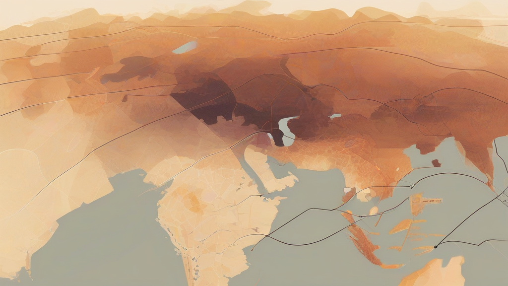
An isochrone is a line or curve on a map that connects points of equal time, often used in geography and cartography to represent the time it takes for a particular event to occur at different locations. This concept is useful in understanding the spread of information, the impact of natural disasters, and the movement of people and goods. The term isochrone is derived from the Greek words 'iso' meaning equal and 'chronos' meaning time. In modern usage, isochrones are often used in conjunction with other geographic tools to analyze and visualize complex spatial relationships. By examining isochrones, researchers and planners can gain insights into the dynamics of urban and rural areas, and make more informed decisions about infrastructure development and resource allocation. The study of isochrones has applications in fields such as urban planning, emergency management, and environmental science.
A line on a map connecting points that are all at the same time.
"The isochrone map showed the areas that would be affected by the earthquake at different times."
In geography and cartography, an isochrone is a line or curve that connects points of equal time.
A curve showing the times at which a particular event occurs at different locations.
"The curve on the isochrone graph represented the time it took for the news to spread across the city."
In modern usage, isochrones are often used in conjunction with other geographic tools to analyze and visualize complex spatial relationships.
The plural form is used when referring to multiple isochrones or when describing a collection of isochrones.
"The city has multiple isochrones that represent the time it takes for the news to spread across different neighborhoods."
Reviewed by Deb Chak, Editor. AI-assisted content curated by RJS Tech Solutions LLP.
Etymology of isochrone
The term isochrone is derived from the Greek words 'iso' meaning equal and 'chronos' meaning time. The concept of isochrones has its roots in ancient Greek geography and cartography, where it was used to represent the time it took for the sun to rise and set at different locations. The modern concept of isochrones as a tool for analyzing spatial relationships developed in the 20th century, with the advent of computer mapping and geographic information systems.
Usage notes
In geography and cartography, an isochrone is a line or curve that connects points of equal time, often used to represent the time it takes for a particular event to occur at different locations.