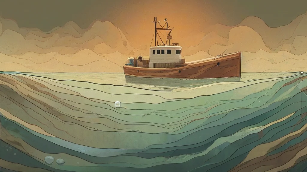
What does bathymetry mean?
Bathymetry is the science of measuring the depth of water in oceans, seas, lakes, and rivers, and of using those measurements to map the terrain of the underwater floor. It plays the same role for submerged landscapes that topography plays for dry land, revealing features such as seamounts, trenches, continental shelves, and mid-ocean ridges. Traditionally carried out by lowering weighted lines or single-beam sonar from ships, bathymetry today relies heavily on multibeam echo sounders, satellite altimetry, and autonomous underwater vehicles, producing high-resolution three-dimensional charts of the seafloor. The word derives from Greek roots meaning 'deep' and 'measurement'. Bathymetry is essential to navigation safety, submarine cable and pipeline routing, fisheries management, tsunami modelling, and the study of plate tectonics and ocean circulation. Because only a fraction of Earth's seafloor has been mapped in modern detail, bathymetry remains one of the most active frontiers of exploration science.
nounThe measurement of the depth of water in oceans, seas, and lakes, and the mapping of underwater terrain based on those measurements. It is the aquatic equivalent of topography on land.
- The scientific measurement of water depth, especially of oceans and seas.
- The resulting data or mapped representation of underwater terrain (e.g., a bathymetric chart or dataset).
"Modern bathymetry, gathered largely by multibeam sonar from research vessels, has revealed vast mountain ranges and deep trenches hidden beneath the ocean surface."
"Satellite altimetry now allows researchers to estimate bathymetry across entire ocean basins without a single ship-based sounding."
"Before laying the transatlantic cable, engineers commissioned detailed bathymetry to avoid undersea ridges and canyons."
Rarely used; 'bathymetry' is normally uncountable. The plural appears mainly in technical writing to refer to multiple distinct bathymetric datasets or survey results.
"The study compared bathymetries collected over three decades to track sediment accumulation in the estuary."
We have mapped the surfaces of Mars and the Moon in far greater detail than our own seafloor — and it's bathymetry that's slowly filling in that enormous blind spot on Earth.
Reviewed by Deb Chak, Editor. AI-assisted content curated by RJS Tech Solutions LLP.
Etymology of bathymetry
Bathymetry comes from the Greek words 'bathys', meaning 'deep', and 'metron', meaning 'measure', so it literally means 'measurement of depth'. The term was coined in the nineteenth century as systematic scientific soundings of the oceans began, replacing older nautical terms such as 'sounding' and 'lead line'. It shares its Greek root with words like 'bathysphere' and 'bathyal', which also relate to ocean depth, and with 'thermometer' through the common element '-metry'.
Related word forms
How bathymetry is actually used
Bathymetry is a technical term used mainly in oceanography, marine geology, hydrography, and related sciences; it is rare in everyday conversation. It is an uncountable noun in its primary sense, though 'bathymetries' occasionally appears when referring to distinct datasets or survey results. The adjective form is 'bathymetric' (or less commonly 'bathymetrical'), and the adverb 'bathymetrically'.
Easily confused with bathymetry
Topography is the mapping of land elevations on dry ground, whereas bathymetry is specifically the measurement and mapping of depths beneath water.
Hydrography is the broader science of measuring and describing all physical features of bodies of water, of which bathymetry — the depth-measurement component — is just one part.